Explore Our Specialized Service Practices
Each practice operates with dedicated analytical protocols, rigorous quality control, and full data ownership.
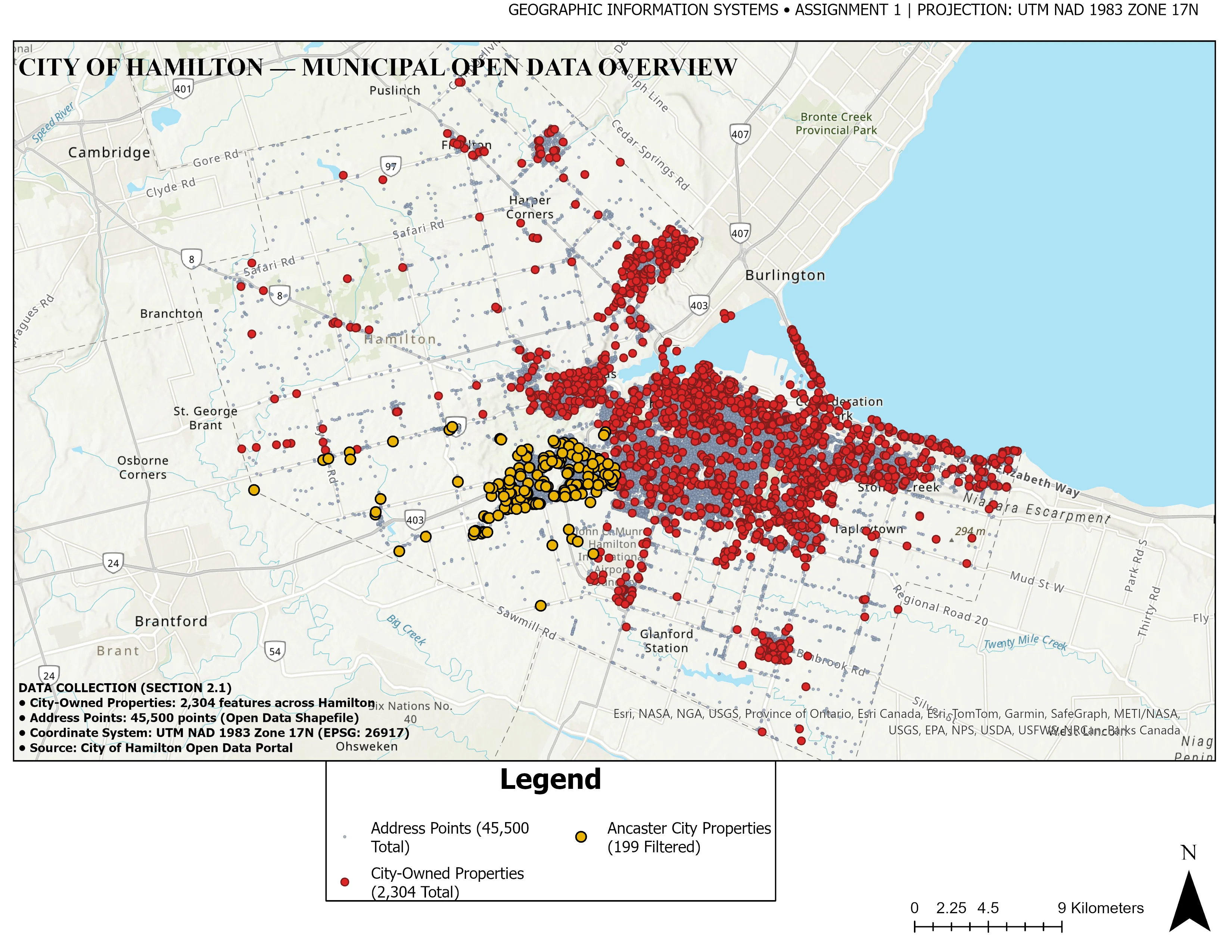
1. GIS Mapping & Thematic Cartography
Publication-quality map production, cadastral boundary alignment, municipal infrastructure networks, and OGC-compliant spatial database preparation (GeoPackage / PostGIS) meeting peer-reviewed journal and corporate engineering standards.
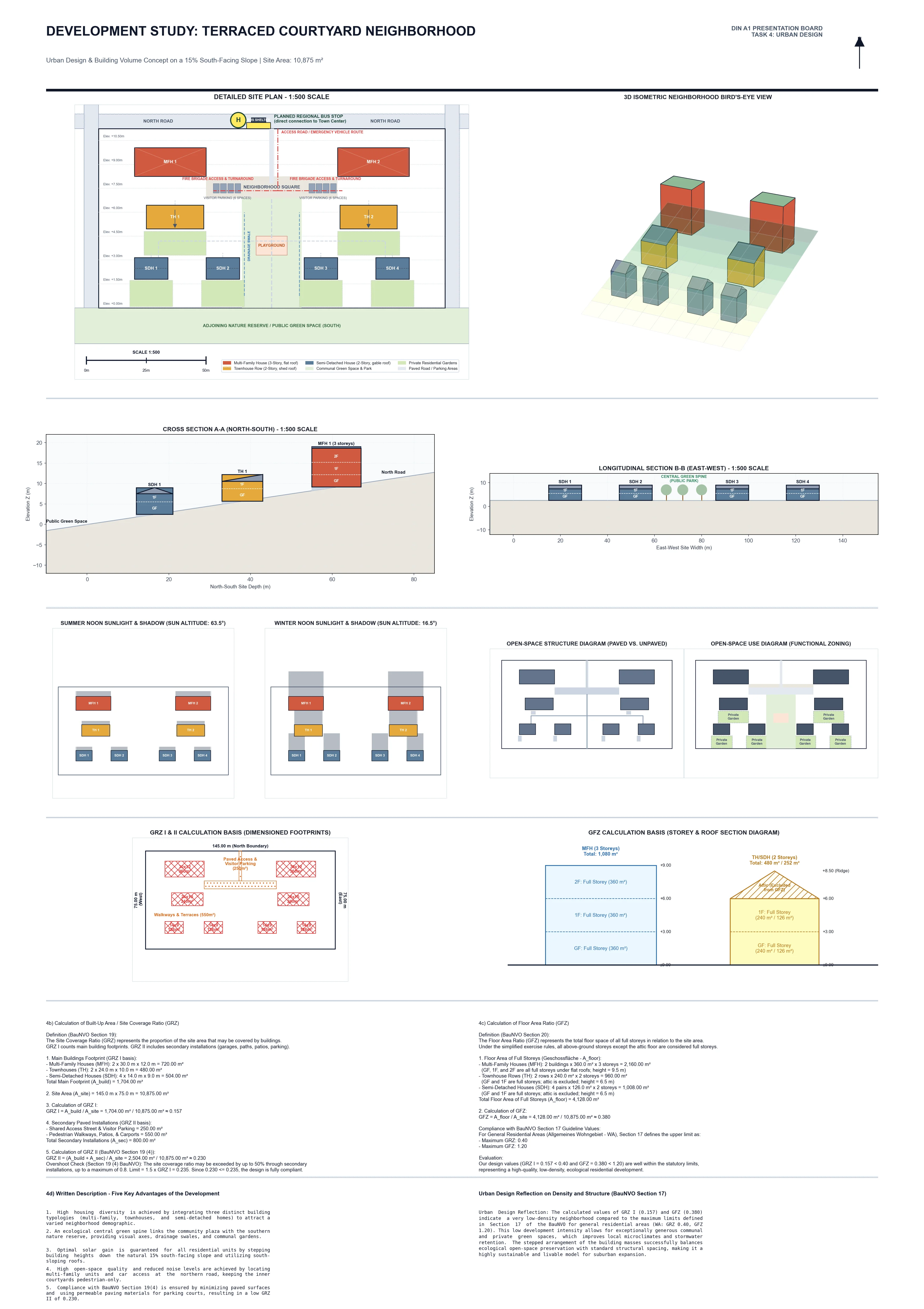
2. Satellite Remote Sensing & Optical Analytics
Physical thermodynamic parameter extraction, Land Surface Temperature (LST) split-window modeling, spectral vegetation/moisture indices (NDVI, NDBI, NDWI), decadal multi-temporal change detection, and Google Earth Engine cloud pipelines.
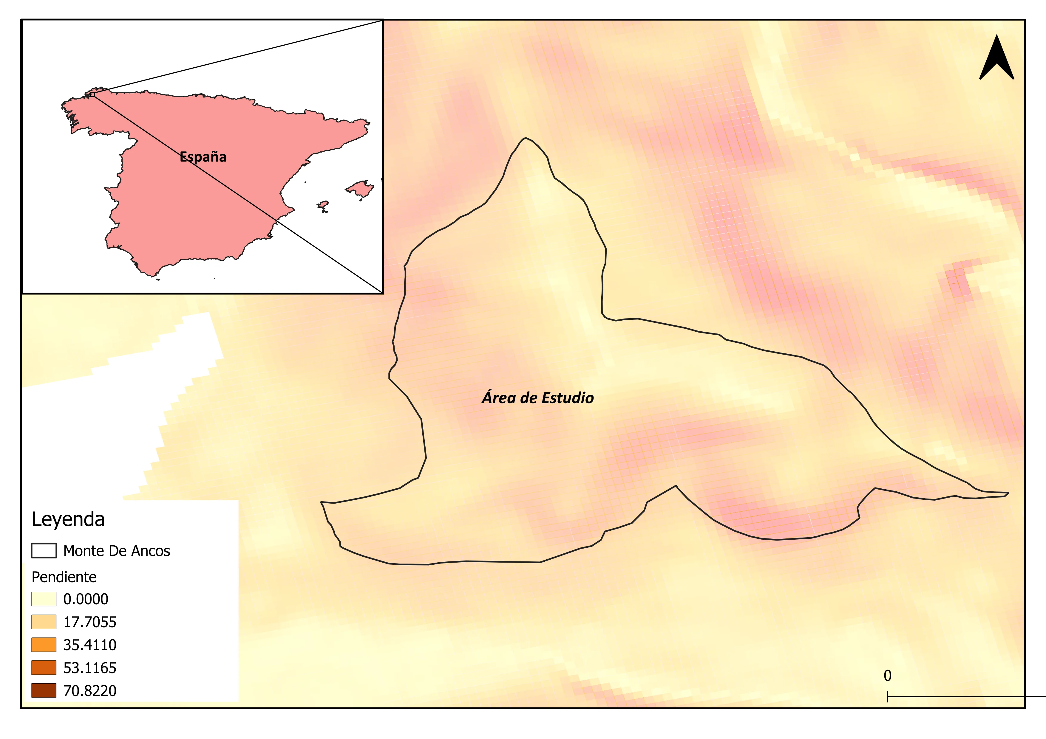
3. Spatial Analysis & Geostatistics
Advanced statistical modeling of geographic phenomena: Inverse Distance Weighting (IDW) and Kriging surface interpolation, Getis-Ord Gi* hotspot identification, spatial autocorrelation (Moran's I), multi-criteria site suitability (AHP), and network routing.
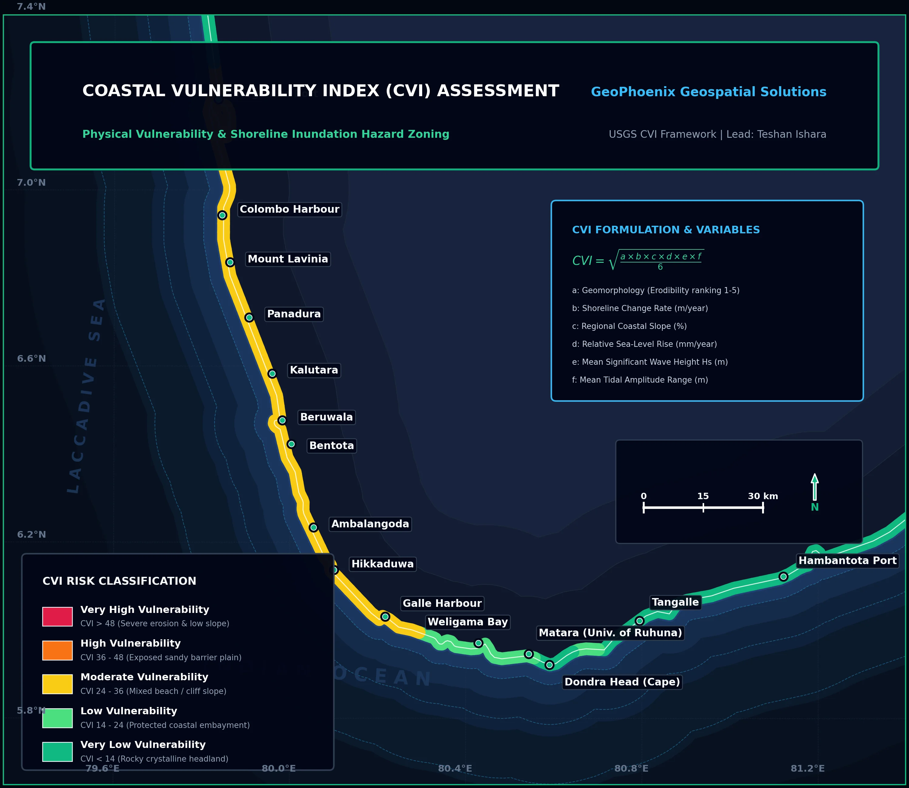
4. Environmental & Coastal GIS Services
Grounded in marine ecological science. Coastal Vulnerability Index (CVI) shoreline exposure rankings, Height Above Nearest Drainage (HAND) flood risk inundation mapping, hydro-enforced watershed basin delineation, and marine spatial planning.
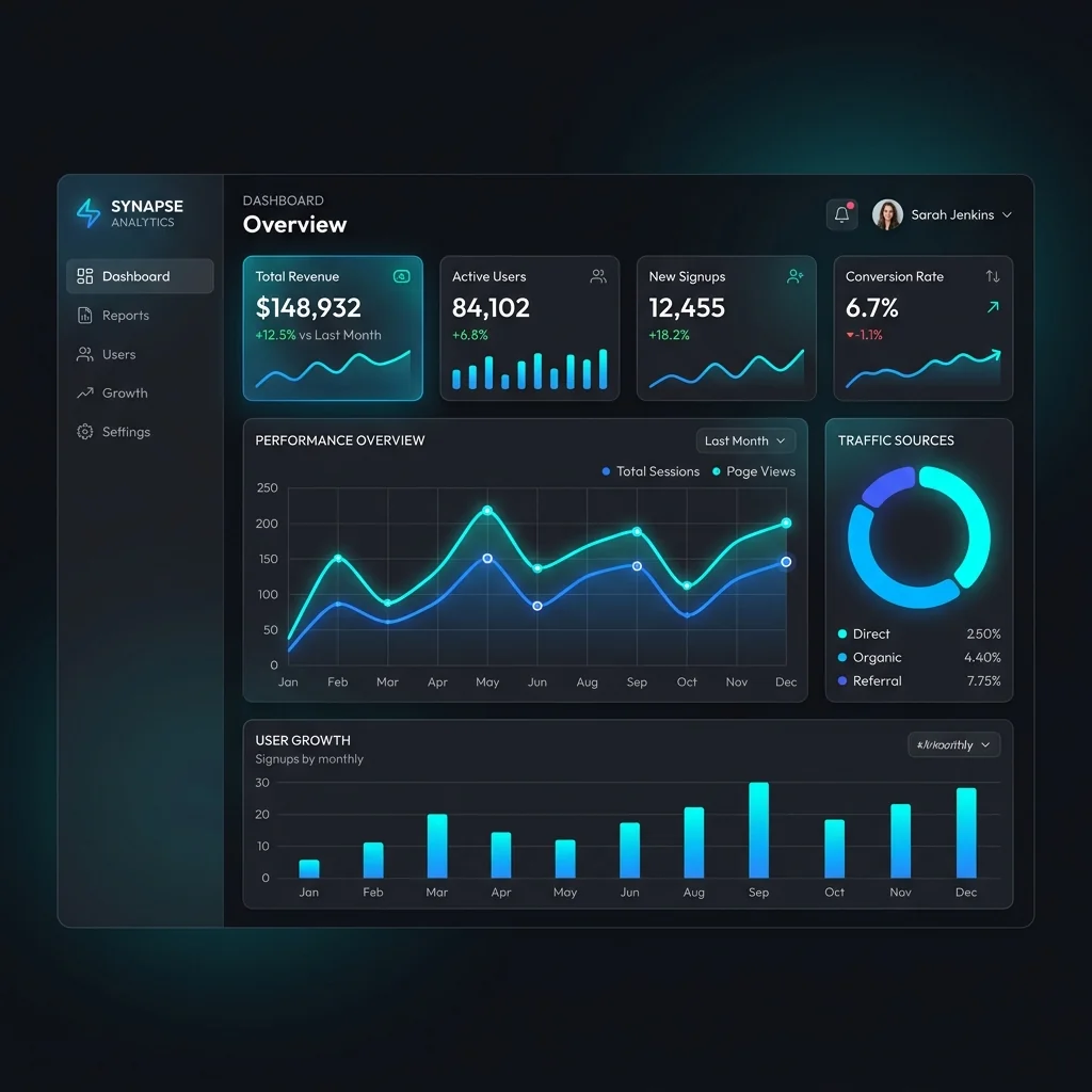
5. Python GIS Automation & Data Engineering
Custom automated scripts replacing manual desktop clicks. High-throughput batch vector processing, out-of-core windowed raster calculations, automated Google Earth Engine cloud pipelines, and programmatic multi-page PDF map atlas production.
International Engineering & Delivery Standards
How our deliverables compare across professional technical benchmarks.