

Bridging Ecological Science, Satellite Analytics & Geospatial Engineering
GeoPhoenix was founded by Teshan Ishara to address a persistent gap in spatial consulting: bridging deep ecological science with modern, reproducible geospatial computing. Holding a Bachelor of Science (Honors) in Fisheries and Marine Sciences from the University of Ruhuna, Sri Lanka, Teshan approaches spatial challenges with both biological domain understanding and technical computational rigor.
As a collaborative Research Assistant for projects with the University of Southampton, UK (Faculty of Engineering and Physical Sciences), Teshan conducts high-level spatial modeling and academic data analysis under the supervision of PhD researchers. Over the past 6+ years, he has successfully delivered more than 150 international projects for environmental consultancies, engineering teams, government bodies, and universities spanning the USA, Canada, UK, Europe, and Australia.
Technical Expertise & Core Toolset
Production-grade technologies utilized across our consulting practice.
Desktop GIS Software
Advanced mastery of QGIS 3.x (custom models, PyQGIS, atlas generation) and ArcGIS Pro (geodatabase design, spatial analyst, 3D analyst, spatial statistics).
Python Geospatial Stack
Automated vector/raster pipelines built with GeoPandas, Rasterio, Shapely, PyProj, GDAL/OGR, Fiona, Xarray, and Matplotlib/Cartopy.
Cloud Earth Observation
Large-scale satellite analytics utilizing the Google Earth Engine (GEE) JavaScript and Python APIs, processing petabyte-scale imagery collections.
Statistical Modeling & R
Quantitative statistical modeling using R (sf, spdep, ggplot2) and SPSS for academic hypothesis testing, multivariate analysis, and spatial econometrics.
Professional & Academic Timeline
A track record of academic collaboration, university teaching, and consulting.
Conducting spatial data analysis, multi-criteria modeling, and statistical research support for engineering and physical science projects under the supervision of PhD researcher Mrs. Imali Manikarachchige.
Instructed undergraduate students in GIS computer laboratory sessions, spatial data structures, aquatic resource mapping, and applied statistical modeling.
Analyzed environmental parameters, monitored aquatic ecosystem quality logs, and engineered operational data dashboards for business modeling.
Delivered 150+ international orders for global clients across the USA, UK, Europe, Australia, and Asia. Designed custom thematic maps, digital elevation models, satellite remote sensing classifications, and spatial databases.
Specialized in aquatic ecosystems, oceanography, spatial statistical modeling, and coastal resource management. Awarded Bachelor of Science with Honours.
Published Books & Technical Literature
In addition to commercial geospatial consulting, Founder Teshan Ishara actively authors technical handbooks, prompt engineering guides, and analytical literature.
Selected Amazon Published Titles
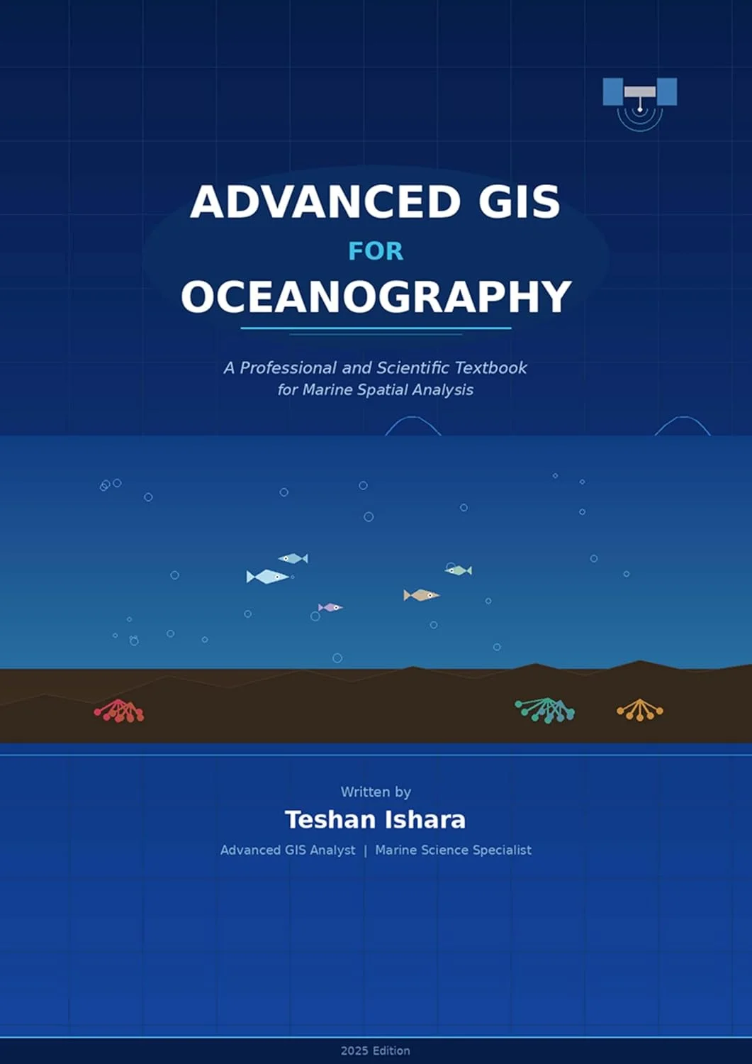
Advanced GIS for Oceanography
Spatial analysis handbook for marine researchers and oceanographers.

Guardian of the Digital Self
Practical guide to digital privacy and synthetic media ethics.

The Sonic Gold Playbook
Mastering generative audio workflows and prompt engineering.

Suno AI for Sonic Branding
Prompt architecture for enterprise sonic branding.

The Cinematic Suno Bible
Soundtrack and cinematic sound design prompt bible.

AI for HR & Recruitment
Modern automated candidate screening and HR workflows.
250 Side Hustles for Wealth
Frameworks for scalable digital income and growth systems.
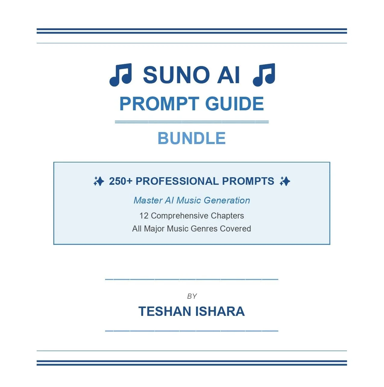
Prompt Guide Bundle
Comprehensive reference guide for generative audio models.